
Controversy has swirled around the map since it came to light in the 1950s, many scholars suspecting it was a hoax meant to prove that Vikings were the first Europeans to land in North America -- a claim confirmed by a 1960 archaeological find.
That would be the find at L'Anse aux Meadows, on Newfoundland's Great Northern Peninsula.
The Vinland Map is not a "Viking map" and does not alter the historical understanding of who first sailed to North America. But if it is genuine, it shows that the New World was known not only to Norsemen but also to other Europeans at least half a century before Columbus's voyage.
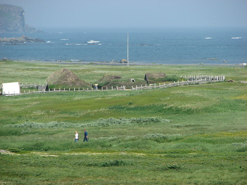
Photo of the Norse settlement replica, a few hundred feet from the actual archaeological site.
L'Anse aux Meadows photo taken by my good friend Lionel, during his visit two years ago.
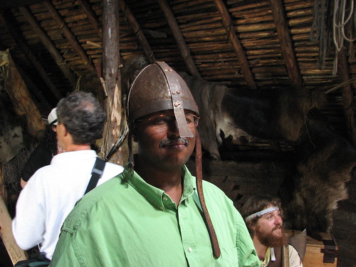
Lionel getting his "viking" on.


Just call me MIGHTY OLAF!
ReplyDelete